On your site
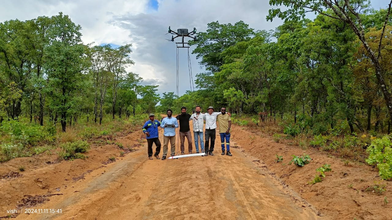
Delivered at your mine, plant or campus using your terrain, so participants work on ground they will actually be mapping.

Training
Practical, field-first training for survey teams, mining professionals and institutions, taught by the crew that flies and processes commercial missions every week.
Curriculum
Participants do not just watch demonstrations. They plan a mission, fly it, process the data and hand over a deliverable that would pass a client review.
| Module | Covers | Outcome |
|---|---|---|
| 01 — Fundamentals | How LiDAR works: pulse, returns, intensity and accuracy budgets; sensor classes and when photogrammetry is the better choice | Can explain the measurement chain and its error sources |
| 02 — Mission planning | Height, speed, line spacing, overlap, terrain following, battery logistics and airspace or safety planning | Can design a flight plan for a stated density target |
| 03 — GNSS & control | Base station setup, control point marking and measurement, coordinate reference systems and transformations | Can establish and verify a control network |
| 04 — Field operations | Pre-flight checks, payload handling, in-flight monitoring, re-flight decisions and field documentation | Can run a sortie safely and spot bad data in the field |
| 05 — Processing | Trajectory and boresight calibration, strip adjustment, noise removal, ground classification and raster generation | Can produce a classified point cloud and terrain products |
| 06 — QA & accuracy | Check point residuals, density checks, coverage maps and honest limitations in reporting | Can state and defend the accuracy of a delivery |
| 07 — Deliverables | Volumetrics, contours, sections, file formats and client handover conventions | Can package a complete survey delivery |
Module depth and duration are adjusted to the participants' existing experience; beginners and practising surveyors are not taught the same way.
Formats
Delivered at your mine, plant or campus using your terrain, so participants work on ground they will actually be mapping.
Structured modules for colleges and training institutes, with classroom sessions, field demonstration and a supervised processing exercise.
We fly your first commercial campaign with your team alongside, then train them on the same equipment and data so the work continues in-house.
Training questions
No. The programme starts from fundamentals and builds up, but we do ask for the participants' background in advance so the depth of the survey and processing modules matches the audience.
Yes. Training can be run on our survey equipment and processing environment. If your organisation already owns a system, we can train on yours instead, which shortens the learning curve on your own hardware.
Small batches work best because flying is hands-on and one crew can only supervise so many take-offs safely. Batch size is agreed at the planning stage based on the format and the number of aircraft available.
Yes. Mining clients often want more time on volumetrics and bench surveys; institutions often want more on processing and interpretation. Modules are re-weighted to suit the group.
Tell us the audience, the location and the outcome you want. We will propose a module mix, duration and equipment plan.