Iron ore & banded iron formation
Delineation of magnetite-rich bands, their strike extent, depth continuity and the structural breaks that offset them.

Drone magnetometer survey
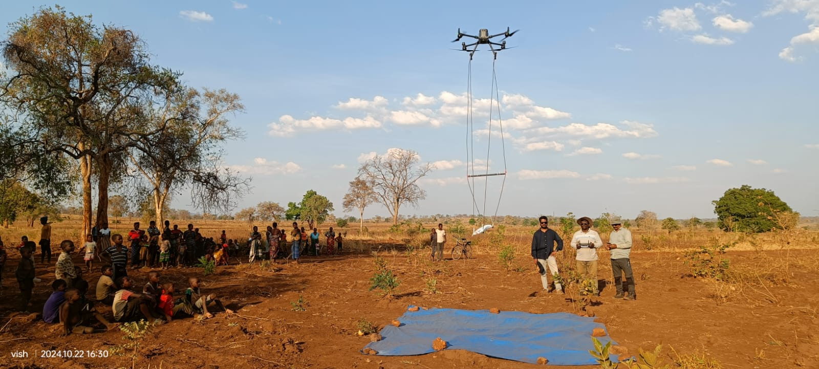
Low-altitude magnetic surveys for iron ore, manganese, base metal and gold exploration, flown closer to the ground than a helicopter or fixed-wing platform can safely operate.
Why drone magnetics
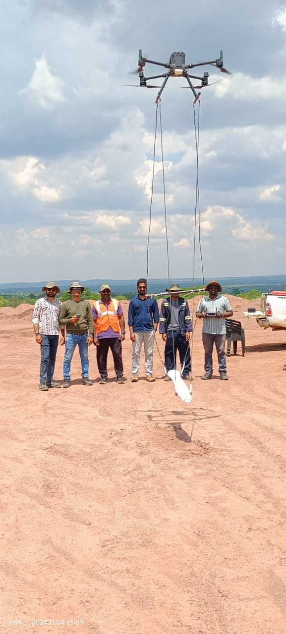
A magnetometer suspended below a drone can fly low and follow terrain, tightening line spacing over the target and resolving anomalies that a higher, faster platform averages out.
Magnetic data maps the distribution of magnetite and other magnetic minerals, which in turn traces structure: banded iron formations, ultramafic bodies, dykes, shear zones and magnetite-destructive alteration. It is the fastest way to rank ground before spending money on drilling.
Specifications
Parameters are set from the size of the target: narrow, high-gradient features need tighter spacing and lower terrain clearance.
| Parameter | Typical value | Notes |
|---|---|---|
| Line spacing | 5–40 m | Reconnaissance at wide spacing, target definition at 10 m or tighter. |
| Terrain clearance | Set per terrain and regulation | As low as safely permitted; canopy height is factored into flight planning. |
| Sensor | Suspended magnetometer loop | Kept clear of the airframe to limit magnetic interference. |
| Control | GNSS base + ground control points | Positions of every reading tied to the site control network. |
| Corrections applied | Diurnal, IGRF, levelling, tie-line | Supplied with the correction report. |
| Products | Total field, RTP, analytic signal, derivatives | Grids as GeoTIFF and Geosoft-compatible formats on request. |
| Ground magnetics | Available for anomaly follow-up | Walking profiles to tighten interpretation over priority zones. |
Exploration targets
Delineation of magnetite-rich bands, their strike extent, depth continuity and the structural breaks that offset them.
Mapping of host sequences and structural traps where manganese mineralisation is known to concentrate.
Recognition of magnetite-destructive alteration haloes, intrusive contacts and conductors' magnetic signatures.
Structural lineaments and magnetite depletion corridors that commonly control gold mineralisation.
High-contrast features that are quick to map magnetically and expensive to map by drilling.
Anomalies ranked by amplitude, wavelength and setting, with coordinates ready for geological mapping, trenching or drilling.
Workflow
Existing maps, previous geophysics and the exploration question set line spacing, direction and extent.
GNSS base station and ground control established; magnetic cleanliness checks completed on the aircraft, payload and crew equipment.
Terrain-following lines flown with tie lines, continuous position logging and quality checks on noise, heading error and line closure.
Diurnal correction, IGRF removal, heading and levelling corrections, micro-levelling and grid production.
Anomaly maps, profiles, derived products and a ranked target table with coordinates and recommended follow-up.
Deliverables
Magnetic questions
It would if the sensor were mounted on the airframe. The sensor is carried on a suspended loop well below the drone, and magnetic cleanliness is checked on the aircraft, payload and crew equipment before the survey. Heading error tests are part of the processing routine.
Depth of investigation depends on the size, magnetisation and depth of the body itself and on the sensor height above ground. Large magnetite-rich bodies can be detected hundreds of metres down; thin dykes and alteration zones are resolved much closer to the surface. Flying lower improves resolution of shallow, narrow features.
Yes, and it is often the most efficient option: the two surveys share one control network, one mobilisation and one reporting exercise, so the surface and subsurface datasets are delivered already registered to each other.
Targets are ranked and handed over with coordinates, dimensions and an interpreted cause. We can follow up with closer-spaced flying or ground magnetometer profiles over the priority zones to refine drill collar positions.
Send the block outline and the target type. We will propose line spacing, direction, terrain clearance and a realistic density outcome.