Iron ore
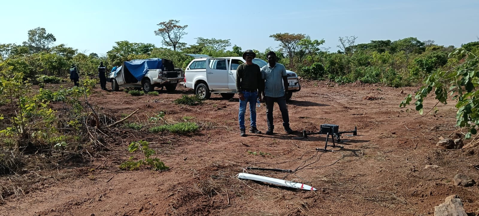
Airborne magnetics and LiDAR over iron-ore exploration blocks and working mines, covering banded iron formation delineation, structural mapping, bench surveys and stockpile volumetrics.

Projects
Exploration blocks, operating mines, quarries and solar plants — surveyed with LiDAR, magnetics and thermal payloads, and reported to the standard the decision needs.
Experience by commodity
Programmes are grouped below by the commodity or asset class involved. Specific block names, coordinates and client attributions are withheld where confidentiality applies, and are available as references during tendering.
Airborne magnetics and LiDAR over iron-ore exploration blocks and working mines, covering banded iron formation delineation, structural mapping, bench surveys and stockpile volumetrics.
Magnetic mapping of host sequences and structural traps, with LiDAR coverage for access planning and topography in rugged, vegetated terrain.
Magnetic surveys aimed at alteration haloes, intrusive contacts and shear-zone corridors, with ranked anomaly targets handed over for ground follow-up.
Repeat LiDAR coverage for bench reconciliation, dump and stockpile volumetrics, haul road profiles and rehabilitation progress on a fixed control network.
Thermographic inspection of ground-mount and rooftop plants with classified anomaly registers and plant-level reports prepared for O&M action, delivered with SolarMark.
Structured aerial LiDAR and drone survey training for institutional and corporate teams, including supervised field flying and a processed pilot dataset.
Client organisations we have served are listed on the clients page.
Assignment profiles
These profiles describe the shape of assignments we routinely quote for. They are indicative planning guides rather than fixed packages — scope, coverage and reporting are agreed per site.
| Assignment profile | Typical scope | Indicative field duration |
|---|---|---|
| Exploration block survey | Magnetics over 10–60 km2, with LiDAR coverage of access routes and priority zones | 1–3 weeks per block |
| Target definition survey | Closer-spaced magnetics over an identified anomaly, plus ground profiles | 3–7 days |
| Mine volumetric campaign | LiDAR over benches, dumps and stockpiles with cut-and-fill tables | 2–6 days per site |
| Solar plant inspection | Thermal and visual coverage of the array with a classified anomaly register | 1–3 days per plant |
| Asset inspection | Visual and thermal coverage of structures, rooftops or corridors with a 3D model | 1–2 days per asset group |
| Training programme | Classroom sessions plus supervised flying, processing and QA, on your site or ours | 5–10 days |
Working with us
Tell us the tender requirement and the commodity. We will share relevant experience, method statements and contactable references where client confidentiality permits.