Airborne LiDAR survey
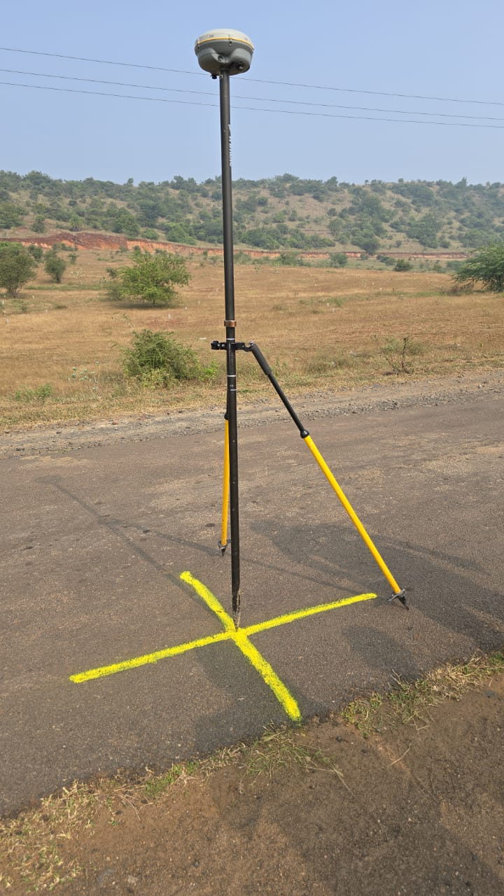
UAV LiDAR with integrated GNSS and inertial logging, flown in systematic lines and processed to a classified point cloud at 20–25 points per m2.
- Volumetrics for stockpiles, benches, pits and dumps
- Bare-earth terrain models and contours through canopy
- Orthophoto and 3D mesh add-ons where visual context is needed