Mine and stockpile volumetrics
Bench reconciliation, overburden and dump volumes and stockpile inventories calculated from the same surface pairs every period.

Airborne LiDAR survey
Drone laser scanning for mine and quarry volumetrics, terrain modelling under canopy and area-wide elevation coverage where photogrammetry alone is not enough.
Why LiDAR
Photogrammetry needs to see the surface it measures. LiDAR measures it directly, so a proportion of pulses reach the ground through canopy gaps, under scrub and along shadowed bench faces.
That makes LiDAR the right instrument when the surface itself is the question: how much material is on a dump, how much has been extracted from a bench, what the terrain looks like beneath a forest block, or how a corridor profile actually runs.
Specifications
Final parameters are set per site and confirmed in the scope note; the values below reflect routine commercial missions.
| Parameter | Typical value | Notes |
|---|---|---|
| Point density | 20–25 points/m2 | Higher density available over smaller areas; canopy reduces ground returns. |
| Survey rate | Up to 1,200 ha/day | Open ground and favourable airspace; stepped benches and canopy reduce it. |
| Control | GNSS base + ground control points | Base station occupation plus independently checked control points on site. |
| Coordinate systems | Client CRS, WGS 84 or local grid | Delivered in the projection your planning software expects. |
| Classifications | Ground, vegetation, structures, noise | Manual review of the automated classification before rasters are produced. |
| Raster resolution | 0.10–0.50 m DTM / DSM | Matched to the density actually achieved over the block. |
| Contour interval | 0.5 m or 1.0 m | Breaklines included on request. |
Density and accuracy are reported as measured, per block, in the final report.
Applications
Bench reconciliation, overburden and dump volumes and stockpile inventories calculated from the same surface pairs every period.
Digital terrain models that feed geological block models, pit designs and haul road layouts without a manual survey campaign.
Bare-earth surfaces for exploration access planning and drainage studies where the canopy hides the ground.
Regular independent measurement of production faces, rejection volumes and rehabilitation progress.
Elevation and clearance profiles along haul roads, canals, pipelines and rights of way, including vegetation height.
Repeat coverage on a fixed control network showing cut, fill and settlement between survey epochs.
Workflow
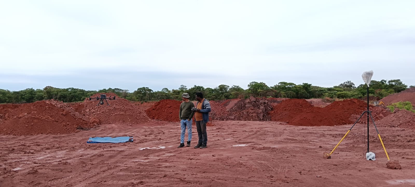
GNSS base station occupied on a known point; ground control points marked and measured across the block, including on all major level changes.
Line spacing, height above ground, overlap and return settings set for the terrain and the required density; airspace and safety clearances confirmed.
Systematic lines flown with GNSS and inertial logging, live coverage checks and immediate re-flights where gaps, wind drift or signal dropout appear.
Trajectory and boresight calibration, strip adjustment, noise removal, ground classification, then independent check against control points before rasters are built.
Point cloud, DTM/DSM, contours, volumes and sections issued with a method and accuracy statement and the coverage maps for the block.
Deliverables
LiDAR questions
Yes, and it is the main reason to choose a laser payload over photogrammetry. With multiple returns, part of each pulse reaches the ground through canopy gaps and is classified as terrain. Ground point density under dense canopy is materially lower than in the open, and the report states the density achieved in each vegetation class.
Ground control points are measured independently of the flight on features that are clearly identifiable in the point cloud. Residuals at those check points, plus the spread between flight strips, are reported with the delivery. We do not quote an accuracy figure that we have not measured on your site.
Commercial drone operations are flown under the regulatory requirements applicable to the location and altitude. Site access, mine safety induction and any client-specific permits are coordinated before mobilisation; airspace constraints are checked during planning.
For a defined block with clear access, mobilisation is typically two to four weeks from confirmation, depending on current field commitments, travel and site induction requirements.
Send the boundary, the terrain description and the products you need. We will confirm feasibility, density and a survey window.