Safety first, always
Site inductions, permits and flight clearances are completed before any sortie. No dataset is worth an incident.

About us
Arkman Dynamics Private Limited is an Indian aerial survey company based in Tiruchirappalli, Tamil Nadu, working across mineral exploration, mining operations, renewable energy and survey training.
Who we are
Arkman Dynamics was formed to bring survey-grade airborne sensing to projects where the alternative is either an expensive manned aircraft campaign or a slow, partial ground survey.
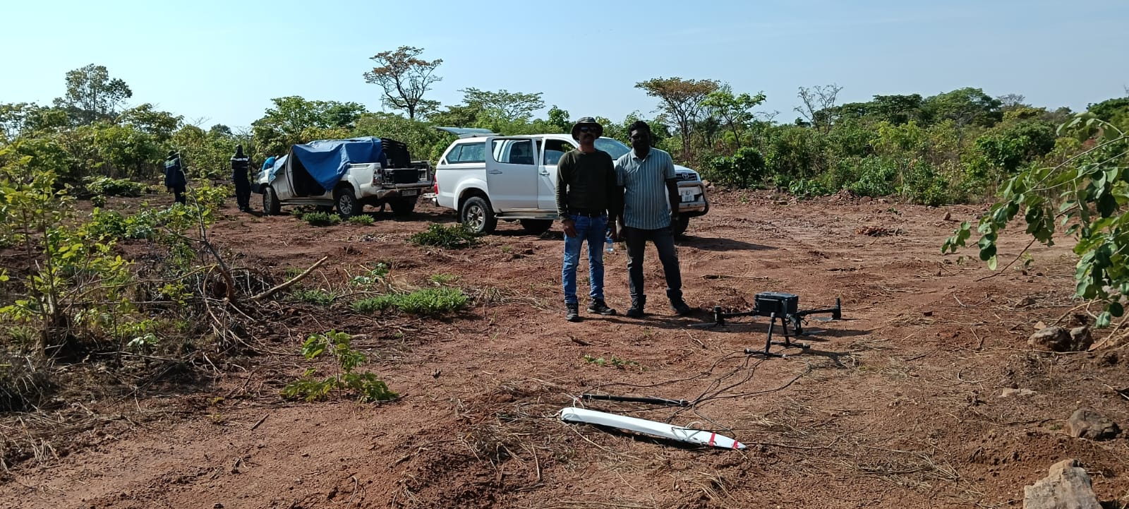
Our teams fly LiDAR and magnetometer payloads over exploration blocks, operating mines, quarries and plant sites, then process everything in-house. More than 700 km2 of LiDAR area and 2,000 line-kilometres of magnetic data have been acquired to date, at point densities of 20–25 points per square metre and coverage rates of up to 1,200 hectares per day on open ground.
Solar PV thermography is delivered jointly with SolarMark, whose inspection workflow and reporting platform sit alongside our flight and processing capability.
Company facts
What we stand for
Site inductions, permits and flight clearances are completed before any sortie. No dataset is worth an incident.
We report the accuracy we measured on your site against your control, not a figure copied from a brochure.
If photogrammetry, ground survey or a different method suits your question better, we say so before you spend money on flying.
Field windows and reporting dates are committed in writing, and we communicate early when weather or access changes them.
Leadership
Sundaresan N leads Arkman Dynamics and stays directly involved in survey planning, client scoping and quality review on live assignments. Enquiries that need a technical decision reach him, not a form handler.
Capability
| Platform | Units | Typical role |
|---|---|---|
| DJI Matrice 350 RTK with Zenmuse L1 and L2 | 2 | Airborne LiDAR and photogrammetric acquisition |
| DJI Matrice 4E and 4T | 2 | Photogrammetry, thermal and visual inspection |
| Processing workstations | 5 | 44 cores, 256 GB RAM, 4 GHz per unit |
| GNSS base and rover receivers | Multiple sets | Control networks, check points, georeferencing |
Equipment in our own fleet — every platform listed is operated by Arkman Dynamics crews, not sub-contracted.
How we work
A written scope note fixes coverage, deliverables, accuracy expectations, reporting dates and responsibilities on both sides. Site safety and access requirements are confirmed with your team.
Daily field updates where connectivity allows, immediate escalation of anything that affects coverage or schedule, and re-flights on the spot rather than after demobilisation.
Data is handed over with a method statement, accuracy results and limitations. Client data is treated as confidential and is not reused or published without approval.
Every enquiry is answered by someone who has been on the survey.